
Find lots and land still in planning
Search rezonings, preliminary plats, and annexations by place and size, and see who filed each one, so you can call first.
7-day free trial. No credit card.
How it works
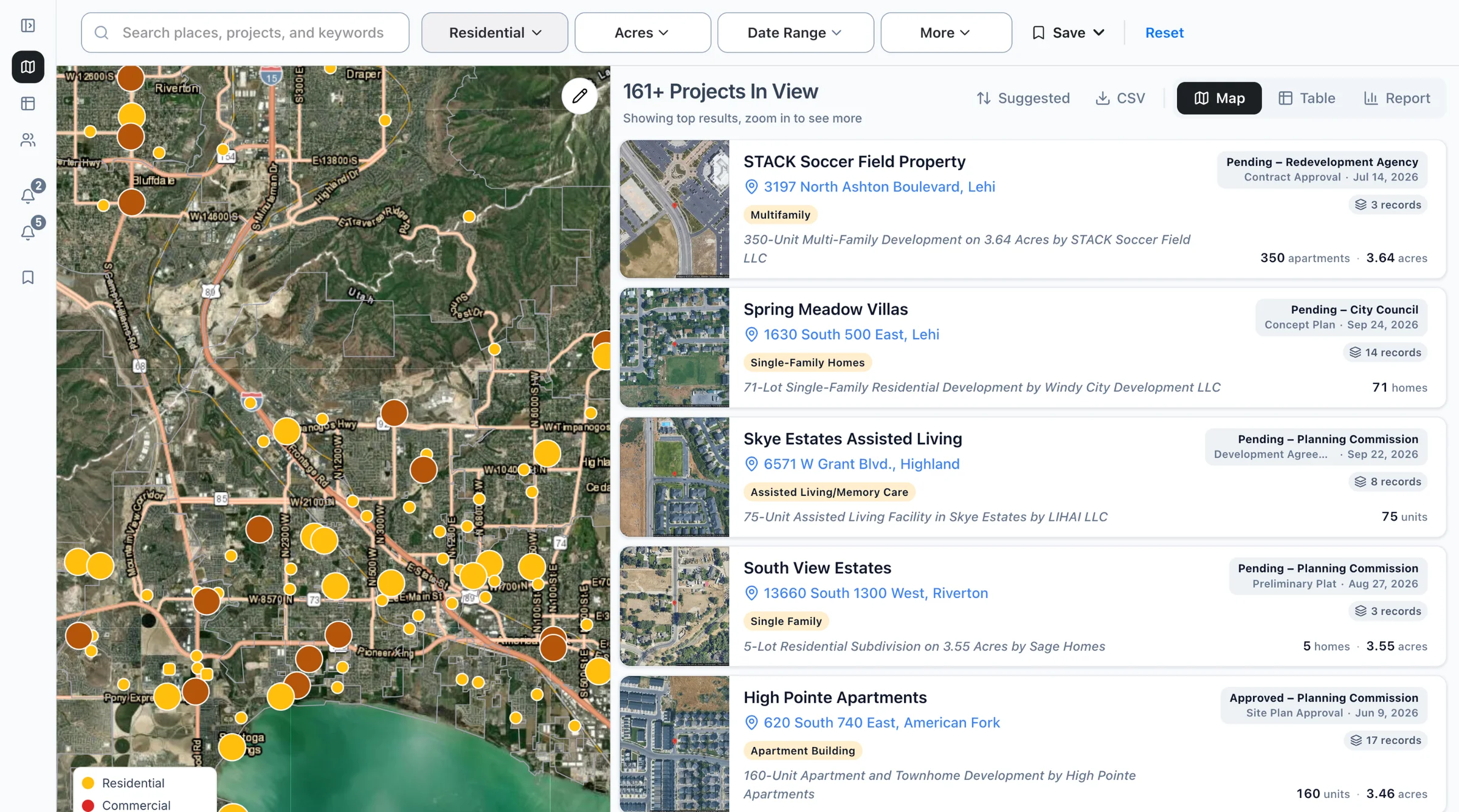
Search the land you want
Filter the map by place, type, and acres, or ask Claude or ChatGPT for "residential plats in Salt Lake County, Utah."
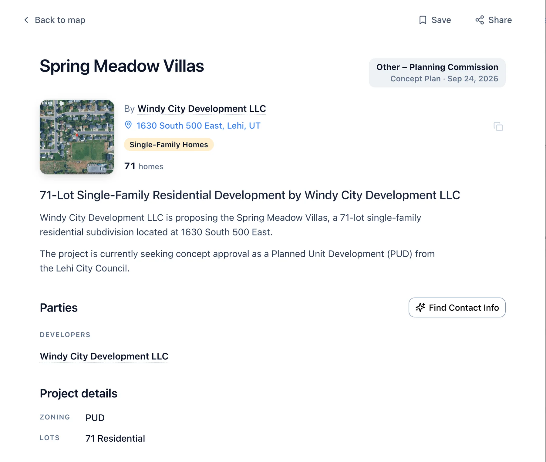
Open the record
See acres, lot count, requested zoning, parcel numbers, and the applicant, when the filing has them.
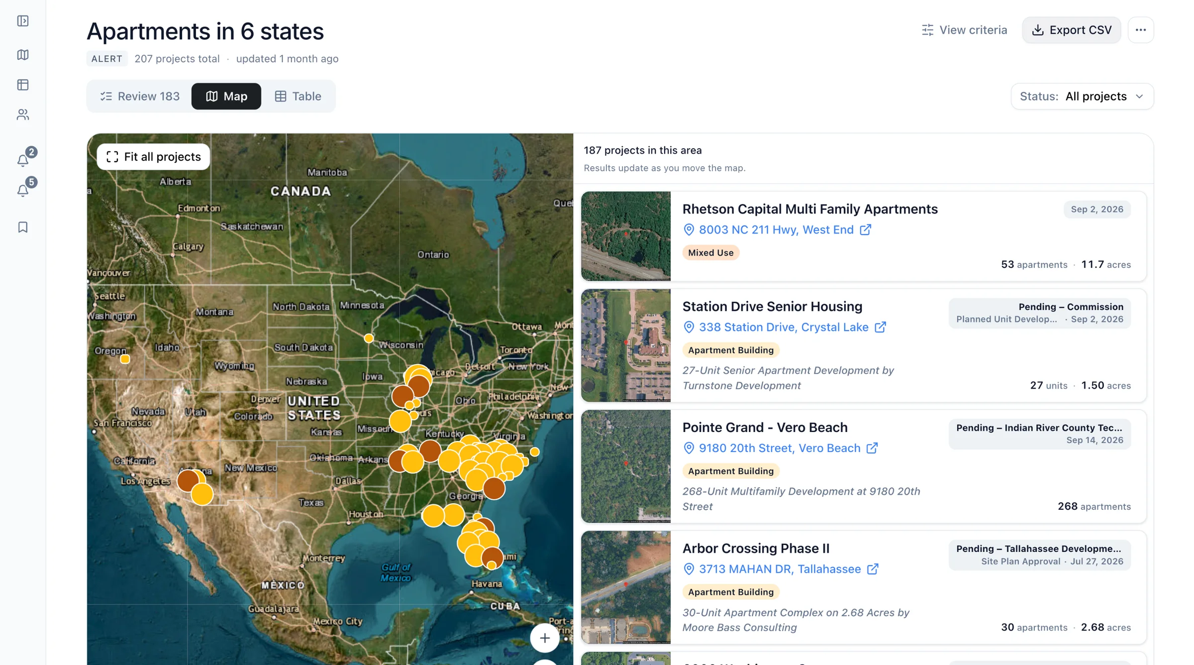
Export to CSV
Download the matches with address, acres, units, and applicant for your land team.
As of Examples built from real recordsHow we count
Common questions
- Does Boardwalk show parcel boundaries?
- No, Boardwalk doesn't draw parcel boundaries. Each record lists parcel numbers when the filing does, so you can look them up in the county's own map.
- Can I find land before anything is filed?
- No, Boardwalk starts when a filing reaches a city or county board. Land under contract with nothing filed yet will not show.
- Does it show who owns the land?
- Boardwalk records list the landowner or applicant when the filing names them. Contact info enrichment then looks for emails and phone numbers to reach them.
Find the land being entitled near you.
Search your county's plats and rezonings and see who filed them.